StormTracker8: Great end to the weekend; Cooler start to the week
 VENN
VENN
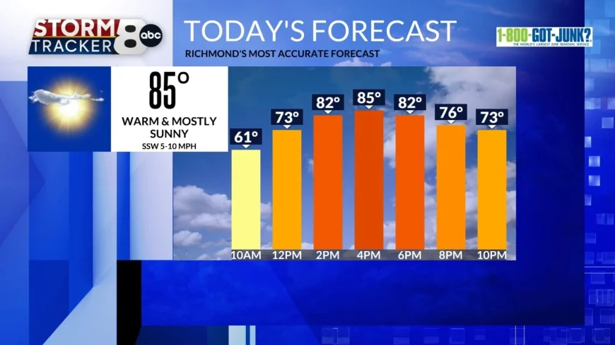
Richmond, Va (WRIC) -- We will have a wonderful Sunday and end to our weekend. High temperatures are going to be warm in the mid 80s and we will be under mostly to partly sunny skies.

Monday's high will be in the upper 60s and will occur around midnight. Temperatures will continue to cool throughout the day due to a cold front passing through.

This cold front will have a weak weather system follow it and that will bring isolated showers to Central Virginia from the north. Showers will occur around the time many of us are waking up and heading out the door and wrap by the afternoon. A rain jacket or umbrella might be good to have on hand.
Tuesday will be a cooler day with highs returning to below normal in the mid 50s. Skies will be mostly sunny, but it will be cool.

Come Wednesday, partly sunny skies and more seasonable conditions will return to the region with highs in the low 60s and this will begin a slight warming trend for the end of the week.
Thursday and Friday will both feature highs in the upper 60s. Thursday will be mostly cloudy and we could see some late night showers. As this next weather system passes through, this brings us the risk for scattered showers on Friday.
Next weekend is going to remain dry but following Friday's weather system there will be another round of cooler air. Highs on Saturday and Sunday will be in the mid to upper 50s.


