StormTracker 8: Tropical Moisture Sunday & Monday; from Tropical Storm Chantal
 VENN
VENN
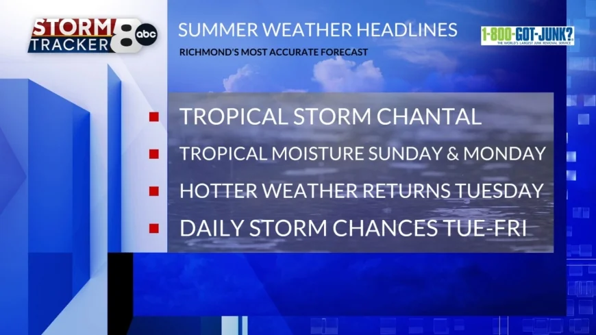
RICHMOND, Va. (WRIC) - All eyes are on Tropical Storm Chantal, as this latest tropical system is approaching the South Carolina coastline this Saturday evening. More on its impact to Central Virginia below.
Saturday night into Sunday morning, calls for mostly clear skies overnight tonight with comfortable temperatures, getting down to 65 to 70 degrees.
Sunday’s forecast brings changes to the area, as Tropical Storm Chantal continues to head northward, into eastern South Carolina and eastern North Carolina throughout the day on Sunday. Meanwhile in Central Virginia, we will see increasing clouds, increasing humidity and scattered showers and thunderstorms especially during the afternoon and evening hours tomorrow, all thanks to tropical moisture from Chantal. Highs tomorrow will be slightly below average in the middle to upper 80s, but with the increased humidity expected, the heat index will be 95 to 100 degrees.
Monday’s forecast will be very similar to our Sunday, with continued tropical moisture streaming into Central Virginia, in association with what is left of Chantal at that point. Highs Monday will be in the upper 80s to around 90 degrees, but with the higher levels of humidity expected, the heat index will be 95 to 100 degrees, under mostly cloudy skies and more scattered showers and thunderstorms.
So, Central Virginia will see some impacts from Tropical Storm Chantal over the next couple of days in the form of tropical moisture and rounds of showers and thunderstorms. Chantal will fizzle out by Monday night if not Tuesday morning.
Next Tuesday and Wednesday, will both be quite hot, with high temperatures rising to 90 to 95 degrees, with heat index values of 100 to 105 degrees under partly sunny skies and isolated late-day showers and thunderstorms possible.
Next Thursday and Friday will bring us continued heat and humidity, with highs in the lower 90s, heat index values of at least 100 degrees under mostly cloudy skies and scattered afternoon and evening showers and thunderstorms possible.
Finally, next weekend, preliminarily, is looking pretty good with highs in the lower 90s, heat index values of around 100 degrees, under partly sunny skies.


